Post-Tropical Cyclone Beryl 2024
Last Modified:
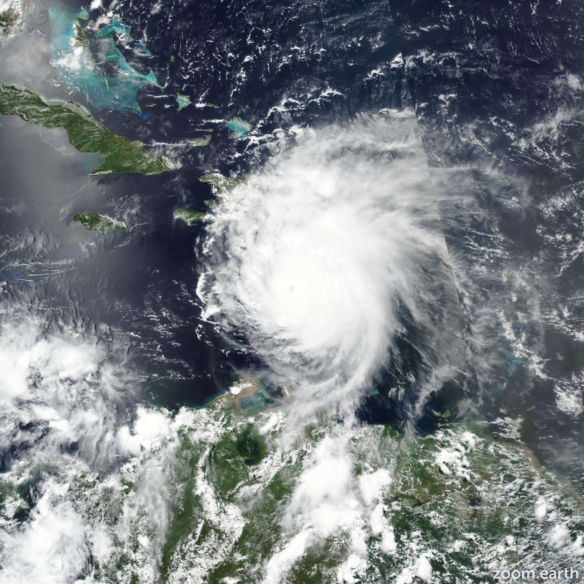
Live tracking map, satellite images and forecasts of Post-Tropical Cyclone Beryl 2024. Current wind speed 25mph. Max 165mph.
Local flash and urban flooding is expected across portions of northeast Texas, far southeastern Oklahoma, Arkansas, and southern Missouri through Tuesday. Minor to moderate river flooding is also possible.
Use caution after Beryl passes. Deadly hazards remain including downed power lines and flooded areas. Ensure generators are properly ventilated to avoid carbon monoxide poisoning. Exercise caution when using chainsaws and power tools, and drink plenty of water to avoid heat exhaustion.
Beryl continues to move farther inland, and the center is now near the border of Texas, Louisiana, and Arkansas. Although the wind and storm surge hazards have largely subsided, there continues to be a significant threat of heavy rainfall and tornadoes along the forecast track for the next day or so. Visit weather.gov for details on these hazards.