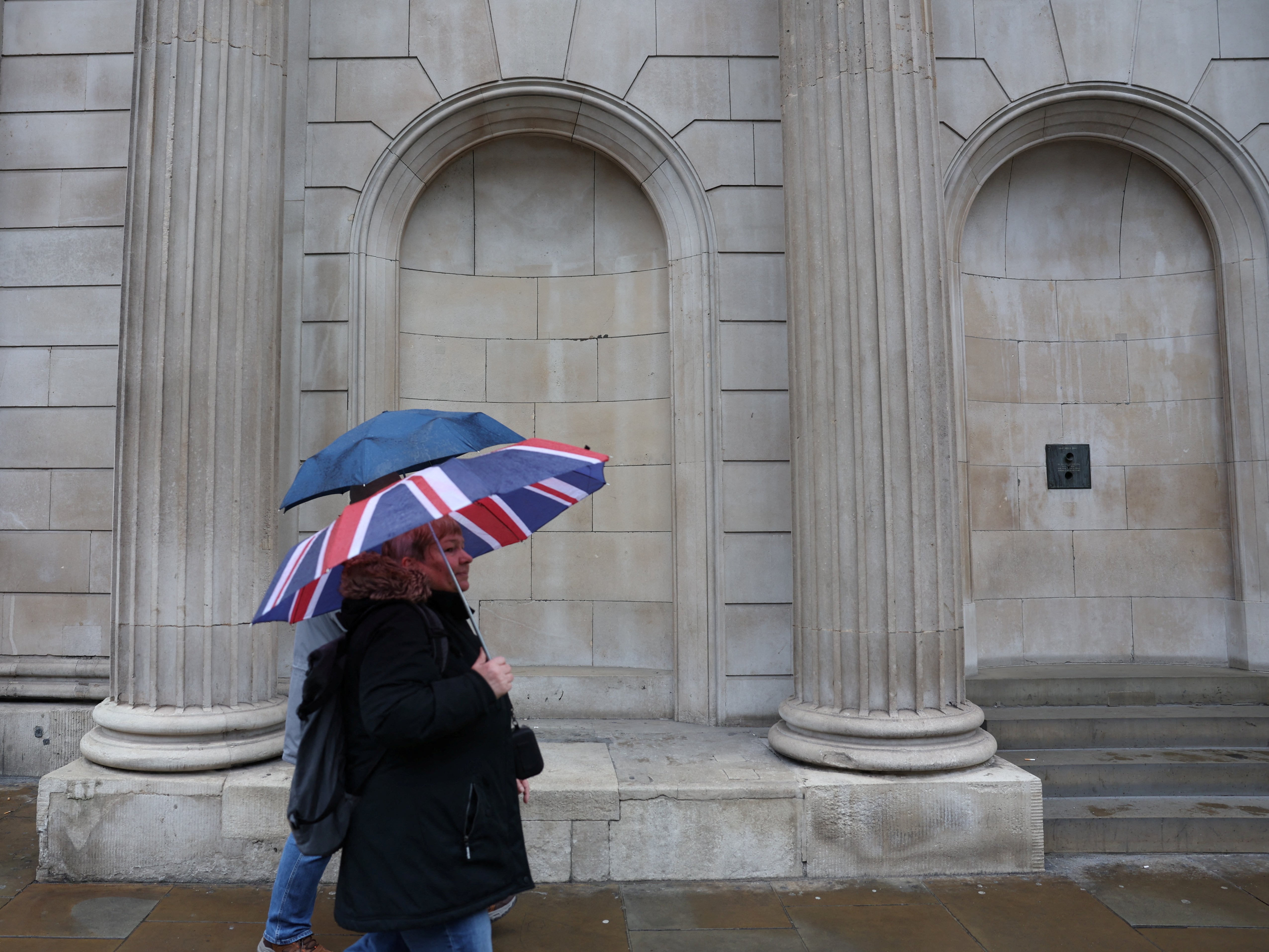
UK weather: Flood warnings in place as Britain braces for more rain and travel disruption
At least 64 flood warnings are in place with heavy rain due to fall on already saturated ground after weekend washout
Your support helps us to tell the story
As your White House correspondent, I ask the tough questions and seek the answers that matter.
Your support enables me to be in the room, pressing for transparency and accountability. Without your contributions, we wouldn't have the resources to challenge those in power.
Your donation makes it possible for us to keep doing this important work, keeping you informed every step of the way to the November election

Andrew Feinberg
White House Correspondent
More heavy rain is set to soak large parts of Britain this week, sparking flood warnings across the country.
Millions of Britons are likely to face travel chaos and power disruptions as the intense rainfall sees rivers burst their banks. At least 64 flood warnings were in place as of Monday morning, while 248 less severe flood alerts have been issued across the country.
The warnings come with rain falling on already saturated ground after a weekend washout. All of England and Wales was subject to severe weather warnings from the Met Office over Saturday and Sunday due to heavy rain.
While waterlogging from surface water was listed as the probable cause of local flooding on Sunday, authorities warned flooding from rivers is likely to affect parts of the south of England, the east of England and the Midlands today, continuing into Tuesday and Wednesday.
“Land, roads and some properties could flood and there could be travel disruption,” said the Environment Agency.
Further local flooding from rivers and surface water is possible on Wednesday across parts of southwest England and the West Midlands. Local groundwater flooding is possible for the next five days in the Malton area of North Yorkshire, leading to travel disruption and damage to properties.
Warning about the potential for travel disruption, the Met Office said: “Bus and train services are probably going to be affected with journey times taking longer. Spray and flooding on roads will probably make journey times longer.
“Flooding of a few homes and businesses is likely, [with] some interruption to power supplies and other services.”
“The ground is already a little bit more saturated across England and Wales compared to Scotland and Northern Ireland, so they’ll be a little more sensitive to the rainfall,” said forecaster Craig Snell.
“Some parts could see disruption, transport may be a little bit delayed and if you’re driving on the roads your journey may take a little bit longer due to spray and road closures,” he told the Mail.
In Monday’s forecast, London is expected to see sunny spells after some morning rain following a chilly night where the mercury dropped down to 3C, with cloud thickening from the west and drizzly conditions developing over the hills. A band of patchy rain will move through during the morning before clouds then break up with sunny spells developing through the afternoon. It is expected to be breezy, especially along coastlines, with maximum temperatures touching 14C.
Flood alerts remain in force for Wales, where light rain will clear during the morning to give a mostly fine day with some hazy sunny spells through high clouds as the minimum temperature touches 3C, while the maximum is slightly above average for the time of year at 12C.
Subscribe to Independent Premium to bookmark this article
Want to bookmark your favourite articles and stories to read or reference later? Start your Independent Premium subscription today.
Join our commenting forum
Join thought-provoking conversations, follow other Independent readers and see their replies
Comments