Zum Hauptinhalt springen

Drone Harmony

See All Stories

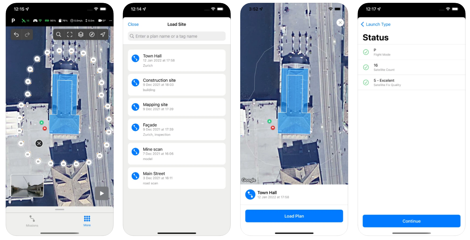
From problematic peaks to perfect maps: Drone Harmony’s Hill Scan

drone harmony hill scan steep terrain mapping

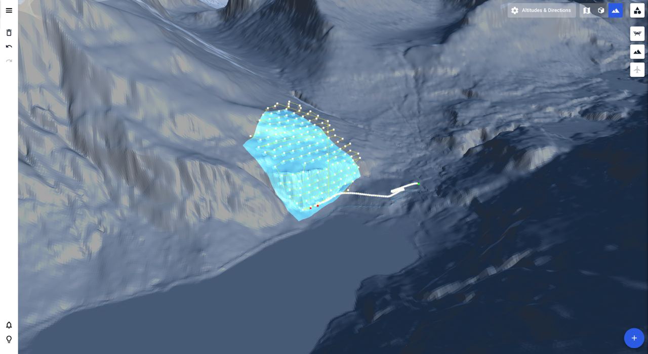
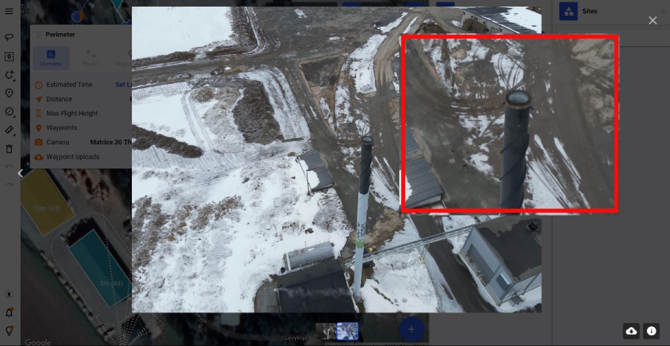
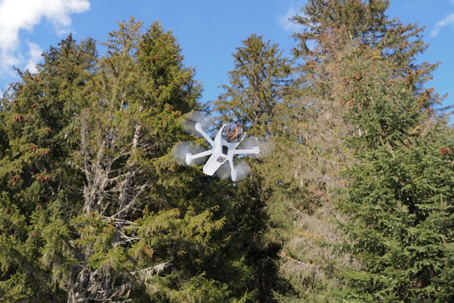
Mapping steep and complex terrain poses significant challenges, even with advanced drone technology. Many drones today are equipped with terrain-following tech, but they can also struggle in environments such as cliffs, rock walls, and steep hills. This leads to inefficiencies and inaccuracies, compromising the quality of the survey. But automated drone mission planning platform Drone Harmony says its Hill Scan technology can help surveyors overcome all such challenges.

Expand Expanding Schließen Sie

Drone Harmony, FlyNex join forces to automate asset inspections, data analysis

drone harmony flynex

Drone mission planning platform Drone Harmony is having a very exciting 2022 thus far. Last month, the Switzerland-based company announced it had raised $1.6 million for product innovation. And today, we are hearing about an exciting new partnership with FlyNex, a German software integration platform, resulting in a one-stop drone data solution for energy and construction companies.

Expand Expanding Schließen Sie

Manage push notifications

notification icon
We would like to show you notifications for the latest news and updates.
notification icon
You are subscribed to notifications
notification icon
We would like to show you notifications for the latest news and updates.
notification icon
You are subscribed to notifications