Mbam-et-Kim: Difference between revisions
Appearance
Content deleted Content added
Image correction from the M-&-Inoubou to M-&-Kim image |
Removing Flag_of_Cameroon.jpg; it has been deleted from Commons by Infrogmation because: per c:Commons:Deletion requests/File:Flag of Cameroon.jpg. |
||
| (2 intermediate revisions by 2 users not shown) | |||
| Line 95: | Line 95: | ||
* [[Ntui]] |
* [[Ntui]] |
||
* [[Yoko, Cameroon|Yoko]] |
* [[Yoko, Cameroon|Yoko]] |
||
==References== |
==References== |
||
| Line 102: | Line 103: | ||
[[Category:Centre Region (Cameroon)]] |
[[Category:Centre Region (Cameroon)]] |
||
{{Communes of Centre Region, Cameroon}} |
|||
{{Departments of Cameroon}} |
{{Departments of Cameroon}} |
||
Revision as of 00:48, 5 June 2023
Mbam-et-Kim | |
|---|---|
 Department location in Cameroon | |
| Coordinates: 5°24′59″N 12°05′47″E / 5.4164°N 12.0964°E | |
| Land | |
| Province | Centre Province |
| Capital | Ntui |
| Area | |
| • Total | 10,002 sq mi (25,906 km2) |
| Population (2001) | |
| • Total | 64,540 |
| Time zone | UTC+1 (WAT) |
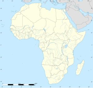
Mbam-et-Kim is a department of Centre Region in Cameroon. The department covers an area of 25,906 km2 and as of 2001 had a total population of 64,540.[1] The capital of the department lies at Ntui.
Subdivisions
The department is divided administratively into five communes and in turn into villages.
Communes
References
- ^ "Departments of Cameroon". Statoids, obtained from Institut national de la statistique (Cameroun) - Annuaire statistique du Cameroun 2004. Retrieved March 13, 2009.


