
Urta Tagay: Difference between revisions
Derim Hunt (talk | contribs) mNo edit summary |
m A > An |
||
| (2 intermediate revisions by 2 users not shown) | |||
| Line 1: | Line 1: | ||
{{short description|Island in Amu Darya river}} |
{{short description|Island in Amu Darya river}} |
||
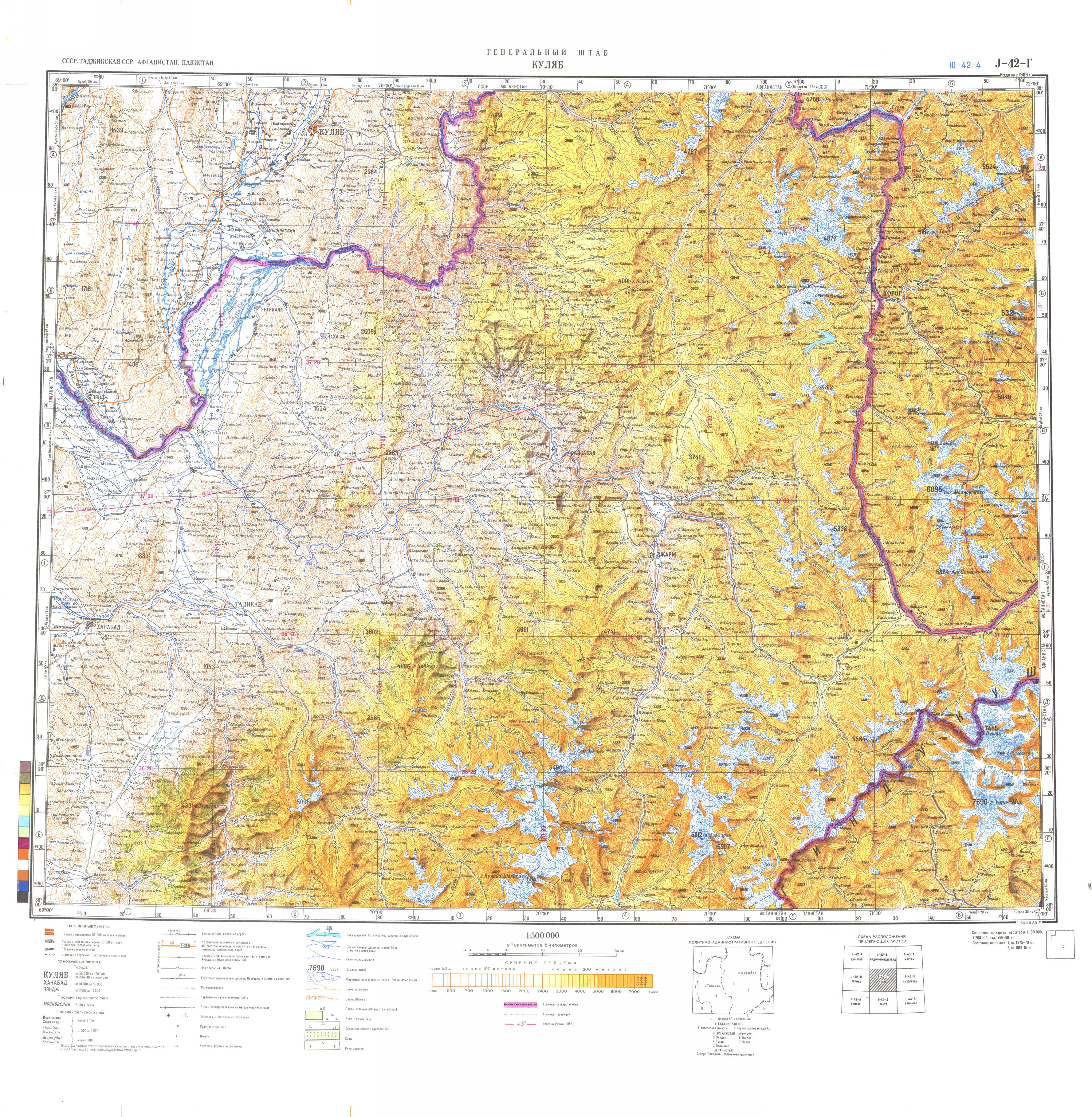
'''Urta Tagay''' ({{lang-ru|Урта-Тагай|Urta-Tagay}}, also {{lang|ru|Урта-Тугай}} {{lang|ru-Latn|Urta-Tugay}}) is |
'''Urta Tagay''' ({{lang-ru|Урта-Тагай|Urta-Tagay}}, also {{lang|ru|Урта-Тугай}} {{lang|ru-Latn|Urta-Tugay}}) is an island in the middle of the river [[Panj (river)|Panj]] (a source river of the [[Amu Darya]]) on the border of [[Afghanistan]] and [[Tajikistan]] in [[Central Asia]]. It lies between the towns [[Farkhor]] and [[Yangi Qala]].<ref>Soviet military map [https://maps.vlasenko.net/smtm500/j-42-4.jpg J-42-Г] (1:500,000)</ref> It is administered by [[Takhar Province]], Afghanistan. It was the subject of two border conflicts: [[Urtatagai conflict (1913)|one in 1913]] and [[Urtatagai conflict (1925–1926)|another in 1925]].<ref>{{Cite journal|last=Panin|first=Sergei Borisovich|date=1999-09-01|title=The Soviet‐Afghan conflict of 1925–26 over the Island of Urta‐Tugai|url=https://www.academia.edu/30075200|journal=The Journal of Slavic Military Studies|volume=12|issue=3|pages=122–133|doi=10.1080/13518049908430405|issn=1351-8046}}</ref> |
||
In 1925, claiming that the main channel of the river had shifted to the south of the island, placing it in Soviet territory, Soviet troops occupied the island. Despite the diplomatic claim, it is believed the island was seized to prevent Uzbek rebels from crossing the river to attack the Soviets. [[Kabul]] protested the seizure, and the dispute was taken to a joint commission which decided in favour of Afghanistan. Afterwards, the island was returned. |
In 1925, claiming that the main channel of the river had shifted to the south of the island, placing it in Soviet territory, Soviet troops occupied the island. Despite the diplomatic claim, it is believed the island was seized to prevent Uzbek rebels from crossing the river to attack the Soviets. [[Kabul]] protested the seizure, and the dispute was taken to a joint commission which decided in favour of Afghanistan. Afterwards, the island was returned. |
||
Latest revision as of 15:15, 2 April 2024
Urta Tagay (Russian: Урта-Тагай, romanized: Urta-Tagay, also Урта-Тугай Urta-Tugay) is an island in the middle of the river Panj (a source river of the Amu Darya) on the border of Afghanistan and Tajikistan in Central Asia. It lies between the towns Farkhor and Yangi Qala.[1] It is administered by Takhar Province, Afghanistan. It was the subject of two border conflicts: one in 1913 and another in 1925.[2]
In 1925, claiming that the main channel of the river had shifted to the south of the island, placing it in Soviet territory, Soviet troops occupied the island. Despite the diplomatic claim, it is believed the island was seized to prevent Uzbek rebels from crossing the river to attack the Soviets. Kabul protested the seizure, and the dispute was taken to a joint commission which decided in favour of Afghanistan. Afterwards, the island was returned.
Sources
[edit]- J. Bruce Amstutz. Afghanistan: The First Five Years of Soviet Occupation. DIANE Publishing, 1994 ISBN 0-7881-1111-6, 978-0-7881-1111-2. Available here.
References
[edit]- ^ Soviet military map J-42-Г (1:500,000)
- ^ Panin, Sergei Borisovich (1999-09-01). "The Soviet‐Afghan conflict of 1925–26 over the Island of Urta‐Tugai". The Journal of Slavic Military Studies. 12 (3): 122–133. doi:10.1080/13518049908430405. ISSN 1351-8046.
37°28′N 69°28′E / 37.467°N 69.467°E
This Afghanistan-related article is a stub. You can help Wikipedia by expanding it. |