
Mourilyan, Queensland: Difference between revisions
added adjacent localities |
updating 2021 census |
||
| (19 intermediate revisions by 9 users not shown) | |||
| Line 2: | Line 2: | ||
{{Use Australian English|date=July 2016}} |
{{Use Australian English|date=July 2016}} |
||
{{Infobox Australian place |
{{Infobox Australian place |
||
| type = town |
| type = town |
||
| name = Mourilyan |
| name = Mourilyan |
||
| state = qld |
| state = qld |
||
| image = Mourilyan mill destruction.jpg |
| image = Mourilyan mill destruction.jpg |
||
| caption = The Mourilyan sugar mill after Cyclone Larry |
| caption = The Mourilyan sugar mill after Cyclone Larry |
||
| coordinates = {{coord|17|34|S|146|03|E|display=inline,title}} |
|||
| latd =17 |
|||
| latm =34 |
|||
| lats = |
|||
| longd =146 |
|||
| longm =03 |
|||
| longs = |
|||
| pushpin_label_position = left |
| pushpin_label_position = left |
||
| pop = |
| pop = 509 |
||
| pop_year = {{CensusAU| |
| pop_year = {{CensusAU|2021}} |
||
| pop_footnotes=<ref name= |
| pop_footnotes = <ref name=Census2021/> |
||
| postcode = 4858 |
| postcode = 4858 |
||
| elevation= |
| elevation = |
||
| dist1 = 1586 |
| dist1 = 1586 |
||
| dir1 = NW |
| dir1 = NW |
||
| location1= Brisbane |
| location1 = Brisbane |
||
| dist2 = 96 |
| dist2 = 96 |
||
| dir2 = S |
| dir2 = S |
||
| location2= [[Cairns, Queensland|Cairns]] |
| location2 = [[Cairns, Queensland|Cairns]] |
||
| dist3 = 8 |
| dist3 = 8 |
||
| dir3 = S |
| dir3 = S |
||
| location3= [[Innisfail, Queensland|Innisfail]] |
| location3 = [[Innisfail, Queensland|Innisfail]] |
||
| lga = Cassowary Coast Region |
| lga = Cassowary Coast Region |
||
| stategov = [[Electoral district of |
| stategov = [[Electoral district of Hill|Hill]] |
||
| fedgov = [[Division of Kennedy|Kennedy]] |
| fedgov = [[Division of Kennedy|Kennedy]] |
||
| maxtemp = |
| maxtemp = |
||
| mintemp = |
| mintemp = |
||
| rainfall = |
| rainfall = |
||
| est = |
| est = |
||
| near-n = [[South Innisfail, Queensland|South Innisfail]] |
| near-n = [[South Innisfail, Queensland|South Innisfail]] |
||
| near-ne = [[Coquette Point, Queensland|Coquette Point]] |
| near-ne = [[Coquette Point, Queensland|Coquette Point]] |
||
| Line 44: | Line 39: | ||
| near-nw = [[Comoon Loop, Queensland|Comoon Loop]] |
| near-nw = [[Comoon Loop, Queensland|Comoon Loop]] |
||
}} |
}} |
||
'''Mourilyan''' is a town and [[Suburbs and localities (Australia)|locality]] in the [[Cassowary Coast Region]], [[Queensland]], Australia.<ref>{{Cite QPN|23226|Mourilyan|town| |
'''Mourilyan''' is a town and [[Suburbs and localities (Australia)|locality]] in the [[Cassowary Coast Region]], [[Queensland]], Australia.<ref>{{Cite QPN|23226|Mourilyan|town|access-date=12 March 2017}}</ref><ref>{{Cite QPN|45735|Mourilyan|locality|access-date=12 March 2017}}</ref> It was established around the Mourilyan sugar mill which provided much of the employment in the area until it was destroyed by [[Cyclone Larry]] on 20 March 2006. In the {{CensusAU|2021}}, the locality of Mourilyan had a population of 509 people.<ref name=Census2021/> |
||
== Geography == |
== Geography == |
||
The town is located {{convert|8|km|mi}} south of [[Innisfail, Queensland|Innisfail]] on the [[Bruce Highway]]. |
The town is located {{convert|8|km|mi}} south of [[Innisfail, Queensland|Innisfail]] on the [[Bruce Highway]]. |
||
==History== |
== History == |
||
| ⚫ | Construction of the Mourilyan sugar mill began in 1882, rendering it among the oldest in Australia. Excavation of the site was undertaken mainly by [[Kanakas]], with assistance from Chinese and Anglo-Saxon labourers. After its completion in 1884, the mill had a processing capacity of 14 tonnes of sugar per 12-hour shift.<ref>{{cite web|url= http://www.abc.net.au/rural/regions/content/2006/s1681036.htm|title=ABC Rural News |access-date=2007-05-26}}</ref> |
||
| ⚫ | Construction of the Mourilyan sugar mill began in 1882, rendering it among the oldest in Australia. Excavation of the site was undertaken mainly by [[Kanakas]], with assistance from Chinese and Anglo-Saxon labourers. After its completion in 1884, the mill had a processing capacity of 14 tonnes of sugar per 12-hour shift.<ref>{{cite web|url= http://www.abc.net.au/rural/regions/content/2006/s1681036.htm|title=ABC Rural News | |
||
In 1913, the Colonial Sugar Refining Company (now [[CSR Limited|CSR]]) began purchasing sugar refined at the mill. Mourilyan remained a small settlement, growing only very slowly since. |
In 1913, the Colonial Sugar Refining Company (now [[CSR Limited|CSR]]) began purchasing sugar refined at the mill. Mourilyan remained a small settlement, growing only very slowly since. |
||
Mourilyan Post Office opened by September 1910 (a [[receiving office]] had been open from 1884 when the mill opened).<ref name = "Post Office">{{Cite web | last = Premier Postal History | title = Post Office List | publisher = Premier Postal Auctions | url = https://www.premierpostal.com/cgi-bin/wsProd.sh/Viewpocdwrapper.p?SortBy=QLD&country= | |
Mourilyan Post Office opened by September 1910 (a [[receiving office]] had been open from 1884 when the mill opened).<ref name = "Post Office">{{Cite web | last = Premier Postal History | title = Post Office List | publisher = Premier Postal Auctions | url = https://www.premierpostal.com/cgi-bin/wsProd.sh/Viewpocdwrapper.p?SortBy=QLD&country= | access-date = 10 May 2014}}</ref> |
||
Mourilyan is prone to [[tropical cyclone]]s; in 1918, a cyclone caused serious damage to the mill and surrounding community, having a drastic effect on sugar production in that year. |
Mourilyan is prone to [[tropical cyclone]]s; in 1918, a cyclone caused serious damage to the mill and surrounding community, having a drastic effect on sugar production in that year.{{Citation needed|date=November 2020}} |
||
The Mourilyan parish of the [[Roman Catholic Vicariate Apostolic of Cooktown]] (now the Roman Catholic Diocese of Cairns) was established in 1935. It is now merged with the [[Innisfail, Queensland|Innisfail]] and [[South Johnstone, Queensland|South Johnstone]] parishes.<ref name=":0" /> |
|||
| ⚫ | [[Cyclone Larry]] caused substantial damage to many households in the area, and destroyed the town's main source of employment. A major effort by the [[Australian Defence Force]] helped restore Mourilyan Primary School to functioning capacity. Insurance payouts have helped to repair residential and commercial properties.<ref>{{cite web|url= http://cyclonelarryaftermath.blogspot.com/2006_04_01_archive.html|title= Cyclone Larry: The Aftermath | |
||
In 1986, [[Cyclone Winifred]] also caused substantial damage to the area.{{Citation needed|date=November 2020}} |
|||
| ⚫ | |||
| ⚫ | In March 2006 [[Cyclone Larry]] caused substantial damage to many households in the area, and destroyed the town's main source of employment. A major effort by the [[Australian Defence Force]] helped restore Mourilyan Primary School to functioning capacity. Insurance payouts have helped to repair residential and commercial properties.<ref>{{cite web|url= http://cyclonelarryaftermath.blogspot.com/2006_04_01_archive.html|title= Cyclone Larry: The Aftermath |access-date=2007-05-26}}</ref> |
||
== Demographics == |
|||
| ⚫ | |||
In the {{CensusAU|2016}}, the locality of Mourilyan had a population of 571 people.<ref name="Census2016">{{Census 2016 AUS|id=SSC32061|name=Mourilyan (SSC)|accessdate=20 October 2018|quick=on}}</ref> |
|||
In the {{CensusAU|2021}}, the locality of Mourilyan had a population of 509 people.<ref name=Census2021>{{Census 2021 AUS|id=SAL32043|name=Mourilyan (SAL)|access-date=28 February 2023|quick=on}}</ref> |
|||
== Attractions == |
== Attractions == |
||
Mourilyan's main attraction is the Australian Sugar Industry Museum,<ref>{{cite web|url=http://www.jcu.edu.au/etropic/ET3/LahneySugar.htm|title=The Australian Sugar Industry Museum| |
Mourilyan's main attraction is the Australian Sugar Industry Museum,<ref>{{cite web|url=http://www.jcu.edu.au/etropic/ET3/LahneySugar.htm|title=The Australian Sugar Industry Museum|access-date=2007-05-26|archive-url=https://web.archive.org/web/20070618235837/http://www.jcu.edu.au/etropic/ET3/LahneySugar.htm <!-- Bot retrieved archive -->|archive-date=2007-06-18}}</ref> which contains several relics from North Queensland's extensive sugar farming history. It also serves as a gateway to [[Mourilyan Harbour]], [[Etty Bay]] and [[Paronella Park]]. |
||
== |
== Education == |
||
Mourilyan State School opened on 29 January 1908 and as of July 2017, educates 167 students from Prep to Year 6.<ref>{{Cite QldSchool|access-date=18 April 2019}}</ref><ref>{{Cite web |url=https://schoolsdirectory.eq.edu.au/Search/Details/0957 |title=School Details |access-date=2018-04-09}}</ref> |
|||
== Amenities == |
|||
Christ the King Catholic Church is at 10 Harbour Road. It is within the Innisfail Parish of the [[Roman Catholic Diocese of Cairns]].<ref name=":0">{{Cite web|title=Innisfail Parish|url=http://www.cairns.catholic.org.au/parishes/innisfail.html|url-status=live|archive-url=https://web.archive.org/web/20201118140346/http://www.cairns.catholic.org.au/parishes/innisfail.html|archive-date=18 November 2020|access-date=18 November 2020|website=[[Roman Catholic Diocese of Cairns]]}}</ref> |
|||
== See also == |
|||
* [[List of tramways in Queensland]] |
|||
== References == |
|||
{{Reflist}} |
{{Reflist}} |
||
==External links== |
== External links == |
||
{{Commons category}} |
{{Commons category}} |
||
* [http://queenslandplaces.com.au/mourilyan University of Queensland: Queensland Places: Mourilyan] |
* [http://queenslandplaces.com.au/mourilyan University of Queensland: Queensland Places: Mourilyan] |
||
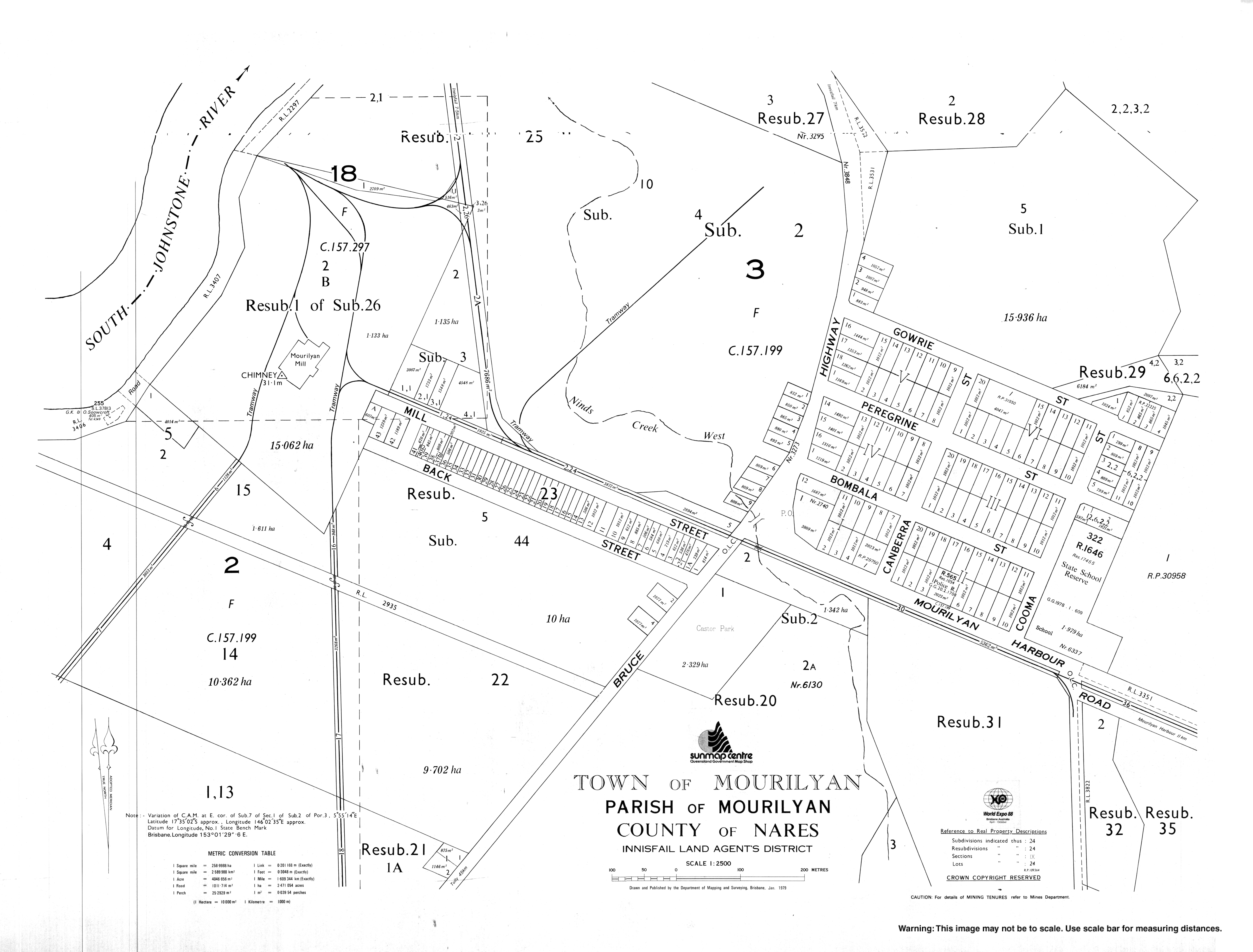
* [https://gisservices.information.qld.gov.au/arcgis/rest/directories/historicalscans/cad_scans/cad-map-town-mourilyan-1979.jpg Town map, 1979] |
|||
{{Cassowary Coast Region}} |
|||
{{authority control}} |
|||
[[Category:Towns in Queensland]] |
[[Category:Towns in Queensland]] |
||
[[Category:Populated places in Far North Queensland]] |
[[Category:Populated places in Far North Queensland]] |
||
[[Category:Cassowary Coast Region]] |
[[Category:Cassowary Coast Region]] |
||
[[Category:Localities in Queensland]] |
|||
Latest revision as of 04:54, 14 June 2024
| Mourilyan Queensland | |||||||||||||||
|---|---|---|---|---|---|---|---|---|---|---|---|---|---|---|---|
 The Mourilyan sugar mill after Cyclone Larry | |||||||||||||||
 Mourilyan | |||||||||||||||
| Coordinates | 17°34′S 146°03′E / 17.567°S 146.050°E | ||||||||||||||
| Population | 509 (2021 census)[1] | ||||||||||||||
| Postcode(s) | 4858 | ||||||||||||||
| Standort | |||||||||||||||
| LGA(s) | Cassowary Coast Region | ||||||||||||||
| State electorate(s) | Hill | ||||||||||||||
| Federal division(s) | Kennedy | ||||||||||||||
| |||||||||||||||
Mourilyan is a town and locality in the Cassowary Coast Region, Queensland, Australia.[2][3] It was established around the Mourilyan sugar mill which provided much of the employment in the area until it was destroyed by Cyclone Larry on 20 March 2006. In the 2021 census, the locality of Mourilyan had a population of 509 people.[1]
Geography
[edit]The town is located 8 kilometres (5.0 mi) south of Innisfail on the Bruce Highway.
History
[edit]Construction of the Mourilyan sugar mill began in 1882, rendering it among the oldest in Australia. Excavation of the site was undertaken mainly by Kanakas, with assistance from Chinese and Anglo-Saxon labourers. After its completion in 1884, the mill had a processing capacity of 14 tonnes of sugar per 12-hour shift.[4]
In 1913, the Colonial Sugar Refining Company (now CSR) began purchasing sugar refined at the mill. Mourilyan remained a small settlement, growing only very slowly since.
Mourilyan Post Office opened by September 1910 (a receiving office had been open from 1884 when the mill opened).[5]
Mourilyan is prone to tropical cyclones; in 1918, a cyclone caused serious damage to the mill and surrounding community, having a drastic effect on sugar production in that year.[citation needed]
The Mourilyan parish of the Roman Catholic Vicariate Apostolic of Cooktown (now the Roman Catholic Diocese of Cairns) was established in 1935. It is now merged with the Innisfail and South Johnstone parishes.[6]
In 1986, Cyclone Winifred also caused substantial damage to the area.[citation needed]
In March 2006 Cyclone Larry caused substantial damage to many households in the area, and destroyed the town's main source of employment. A major effort by the Australian Defence Force helped restore Mourilyan Primary School to functioning capacity. Insurance payouts have helped to repair residential and commercial properties.[7]
Demographics
[edit]In the 2006 census, the town of Mourilyan had a population of 424 people.[8]
In the 2016 census, the locality of Mourilyan had a population of 571 people.[9]
In the 2021 census, the locality of Mourilyan had a population of 509 people.[1]
Attractions
[edit]Mourilyan's main attraction is the Australian Sugar Industry Museum,[10] which contains several relics from North Queensland's extensive sugar farming history. It also serves as a gateway to Mourilyan Harbour, Etty Bay and Paronella Park.
Bildung
[edit]Mourilyan State School opened on 29 January 1908 and as of July 2017, educates 167 students from Prep to Year 6.[11][12]
Amenities
[edit]Christ the King Catholic Church is at 10 Harbour Road. It is within the Innisfail Parish of the Roman Catholic Diocese of Cairns.[6]
See also
[edit]References
[edit]- ^ a b c Australian Bureau of Statistics (28 June 2022). "Mourilyan (SAL)". 2021 Census QuickStats. Retrieved 28 February 2023.
- ^ "Mourilyan – town (entry 23226)". Queensland Place Names. Queensland Government. Retrieved 12 March 2017.
- ^ "Mourilyan – locality (entry 45735)". Queensland Place Names. Queensland Government. Retrieved 12 March 2017.
- ^ "ABC Rural News". Retrieved 26 May 2007.
- ^ Premier Postal History. "Post Office List". Premier Postal Auctions. Retrieved 10 May 2014.
- ^ a b "Innisfail Parish". Roman Catholic Diocese of Cairns. Archived from the original on 18 November 2020. Retrieved 18 November 2020.
- ^ "Cyclone Larry: The Aftermath". Retrieved 26 May 2007.
- ^ Australian Bureau of Statistics (25 October 2007). "Mourilyan (L) (Urban Centre/Locality)". 2006 Census QuickStats. Retrieved 25 October 2008.
- ^ Australian Bureau of Statistics (27 June 2017). "Mourilyan (SSC)". 2016 Census QuickStats. Retrieved 20 October 2018.
- ^ "The Australian Sugar Industry Museum". Archived from the original on 18 June 2007. Retrieved 26 May 2007.
- ^ "Opening and closing dates of Queensland Schools". Queensland Government. Retrieved 18 April 2019.
- ^ "School Details". Retrieved 9 April 2018.