Farsia
Appearance
Farsia
الفرسية El Farsìa | |
|---|---|
| Coordinates: 27°9′N 10°58′W / 27.150°N 10.967°W | |
| Non-self-governing territory | Westsahara |
| Region | Laâyoune-Sakia El Hamra |
| Province | Es Semara Province |
| Municipality | Jdiriya |
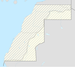
Farsia (Arabic: الفرسية, Spanish: El Farsìa), is an isolated village in Western Sahara, situated within the Moroccan-occupied territories. It was occupied by the Moroccan military on October 31, 1975, after Spanish troops evacuated their post.[1] The Moroccan forces were later pushed out of Farsia by the Polisario.[2]
Notes
- ^ Kingsbury 2018.
- ^ Baers 2022, p. 367.
References
- Baers, Michael (2022-10-10). A History of the Western Sahara Conflict. Newcastle upon Tyne, UK: Cambridge Scholars Publishing. ISBN 978-1-5275-8573-7.
- Kingsbury, Damien (2018-02-02). Western Sahara: International Law, Justice and Natural Resources. Routledge. ISBN 978-1-317-33868-0.


