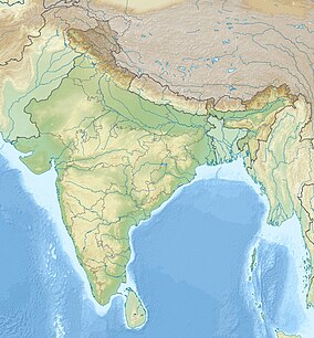
Malabar Wildlife Sanctuary
Appearance
| Malabar Wildlife Sanctuary | |
|---|---|
| മലബാർ വന്യജീവി സങ്കേതം | |
IUCN category IV (habitat/species management area) | |
| Location | Kozhikode District, Kerala, India |
| Nearest city | Kozhikode |
| Coordinates | 11°26′41″N 75°41′37″E / 11.4446°N 75.6935°E |
| Area | 74.215015 square kilometres (28.654577 sq mi) |
| Established | 2010 |
| Governing body | Department of Forests and Wildlife, Kerala |
Malabar Wildlife Sanctuary is a national park located along the Western Ghats and spread across 74 square kilometers in Chakkittapara and Koorachundu revenue villages of Koyilandy Taluk in Kozhikode, Kerala.[1][2]
References
- ^ "Malabar wildlife sanctuary to be opened on Sunday". The Hindu. Retrieved 14 October 2017.
- ^ "New termite species spotted in Malabar Wildlife Sanctuary". Times of India. Retrieved 14 October 2017.

