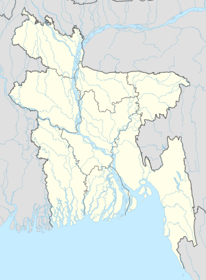
Kalabagan
Appearance
Kalabagan
Kala Bagan | |
|---|---|
| Coordinates: 23°47.7′N 90°24.3′E / 23.7950°N 90.4050°E | |
| Country | |
| Division | Dhaka Division |
| District | Dhaka District |
| Area | |
| • Urban | 3.3 km2 (1.26 sq mi) |
| • Metro | 3.3 km2 (1.26 sq mi) |
| Population (2001) | |
| • City | 106,671 |
| Demonym(s) | Kalabagani, Kala Bagani |
| Time zone | UTC+6 (Bangladesh Time) |
| Notable sport teams | Kalabagan Krira Chakra, Kalabagan Cricket Academy |
Kalabagan is a Thana in Dhaka, Bangladesh,[1] adjacent to Dhanmondi and Jatiya Sangsad.[2]
Geography
Kalabagan has an area of 1.26 sq[2]
Demographics
According to the 2001 Bangladesh census there are about 106671 people living in Kalabagan.[2]
Establishments
References
- ^ "Owner knifed, car hijacked in Kalabagan". The Daily Star. 2017-02-09. Retrieved 2017-03-21.
- ^ a b c "Kalabagan Thana - Banglapedia". en.banglapedia.org. Retrieved 2017-03-21.
- ^ "Kalabagan keep hopes alive after 29-run win in truncated match". Cricinfo. Retrieved 2017-03-21.
23°44′37″N 90°23′18″E / 23.7435°N 90.3883°E{{#coordinates:}}: cannot have more than one primary tag per page

