Skies above Southern California wildfire looked like ‘a nuclear warhead had been set off’
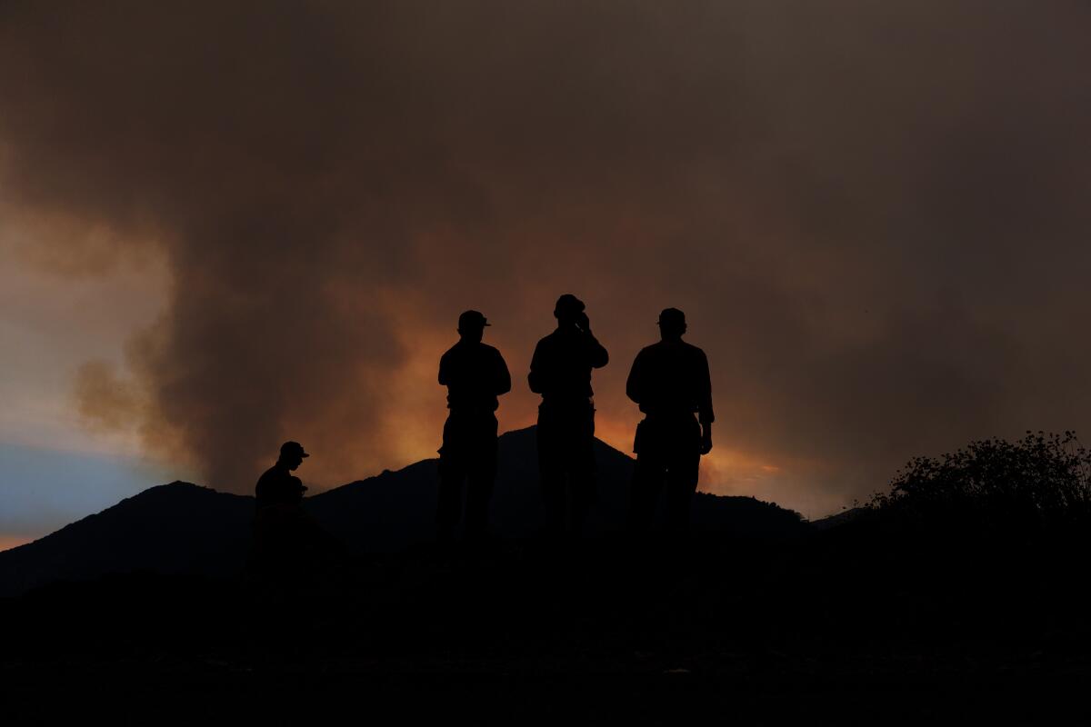
Megan Vasquez, who lives in the Crestline area, had an overnight bag with her medication and other essentials packed just in case she needed to leave her home quickly as the Line Fire raged through the San Bernardino Mountains.
On Saturday, the 59-year-old was driving through town when she saw an orange glow as flames scorched the hills in the distance, and a huge cloud rose above.
“It looked exactly like a nuclear warhead had been set off in the mountains,” she said. “It was a giant mushroom with compact billowy clouds and crazy smoke rings around it on the plume coming up.”
As mountain residents remained on guard, firefighting crews in Southern California continued to battle out-of-control wildfires Monday that had scorched thousands of acres in Los Angeles and San Bernardino counties and forced residents to flee their homes amid record-breaking heat.
The Line fire in San Bernardino County had grown to 23,714 acres and was 3% contained as of Monday afternoon, according to the California Department of Forestry and Fire Protection.
In L.A. County, the Bridge fire had blackened 2,995 acres by Monday evening and had Angeles National Forest visitors and some local residents fleeing the flames.
The Airport fire in Orange County grew to nearly 1,900 acres in the Trabuco Canyon area in less than two hours Monday afternoon, triggering evacuations.
San Bernardino’s Line fire prompted mandatory evacuations in mountain communities that included Running Springs, Arrowbear Lake, Forest Falls and Mountain Home Village. Evacuation warnings were also issued for Lake Arrowhead, Cedar Glen, Crestline and Valley of Enchantment.
More than 36,300 structures were threatened by the fire as of Monday evening, including single-family and multifamily homes, officials said. Three firefighters had been injured, and more than 1,700 personnel had been assigned to tackle the flames.
Though a heat wave across the region has peaked, firefighters still faced high temperatures with relative humidity around 20%. The region is expected to see a bit of cooling overnight, with temperatures in the mid- to high 70s, according to the National Weather Service.
Some light winds were expected into Tuesday, which will provide another hurdle for firefighters trying to get a handle on the Line blaze. Temperatures were expected to drop into the low 90s by Wednesday.
“I’m not going to kid around with this fire, it’s been very wild and it’s definitely been showing some extreme behavior,” said Chandler Price, a meteorologist with the National Weather Service in San Diego.
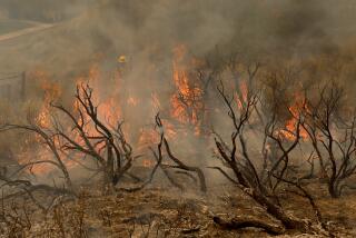
The combination of extreme heat and bone-dry fuels created a dangerous situation for firefighters battling the out-of-control blaze. The fire was burning so hot over the weekend that it created pyrocumulonimbus clouds — thunderstorms that form above sources of intense heat — which triggered winds that pushed the flames around.
Lightning strikes out of the pyrocumulonimbus clouds limited firefighters’ ability to drop flame retardants and water on the fire from the air. By 6:30 p.m. Saturday, 282 lightning strikes were recorded in Highland and Big Bear, with 3,337 other lightning flashes that stayed in the clouds, according to the weather service.
Mother Nature delivered one positive amid the heat: Winds have been relatively mild, and were expected to stay that way.
“Today they’re going to be slightly stronger than average, but they’re going to be pretty typical afternoon breeze type of winds,” Price said. “Of course, if we get another pyrocumulonimbus, all bets are off. They generate their own wind systems, and those winds can be intense.”
Officials are predicting a slight chance of thunderstorms through the early evening.
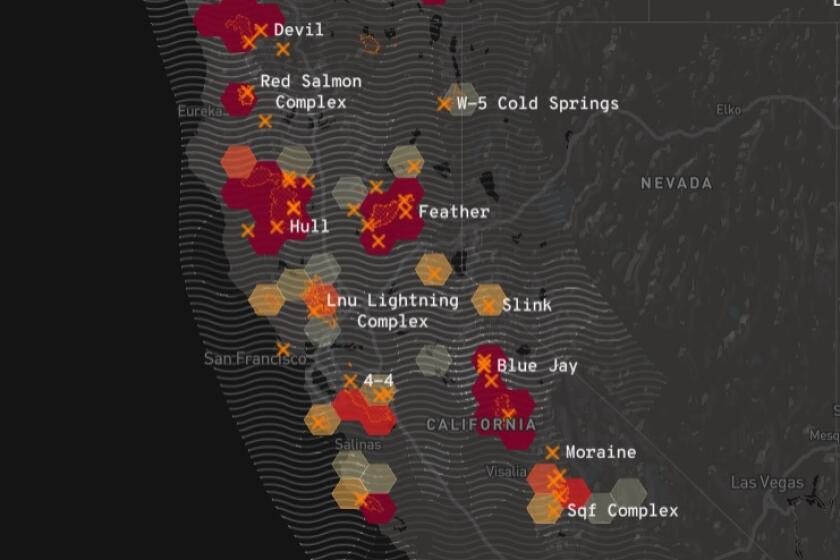
Track wildfire origins, perimeters and air pollution with the L.A. Times California wildfires map.
The heat wave bearing down on the Southland was not expected to break until Tuesday. Los Angeles County and surrounding areas were under a red flag warning as temperatures reached more than 100 degrees in some areas.
Firefighters were using hand lines, hoses and fixed-wing aircraft to fight the fire, which started Thursday evening and grew rapidly that night as temperatures climbed to 110 degrees.
Alina Pursche of Lake Arrowhead, who has worked as a barista at the Tea & Coffee Exchange there for the last three years, said her workplace was closed over the weekend because of the wildfire smoke. The 16-year-old was one of two employees staffing the coffee shop Monday morning.
“You could see ash falling from the sky all around Lake Arrowhead,” she said. “It was very smoky on Saturday and you couldn’t see that far out.”
Although her community wasn’t under an evacuation order, she and her family were still trying to exercise caution. “We’re trying not to go outside because of the smoke,” she said.
The South Coast Air Quality Management District issued an air quality alert through 11 p.m. Tuesday due to elevated fine-particle pollution from wildfire smoke and high ozone levels.
Officials cautioned residents to stay indoors and keep windows and doors closed or find alternative shelter if they smell smoke or see ash from the wildfire. People should also run air conditioners and air purifiers and avoid any vigorous physical activity, according to the agency.
Lung disease, asthma attacks and acute bronchitis can result from exposure to particle pollution, officials said. Older adults, children and people with respiratory or heart disease are more susceptible to health issues resulting from the poor air quality.
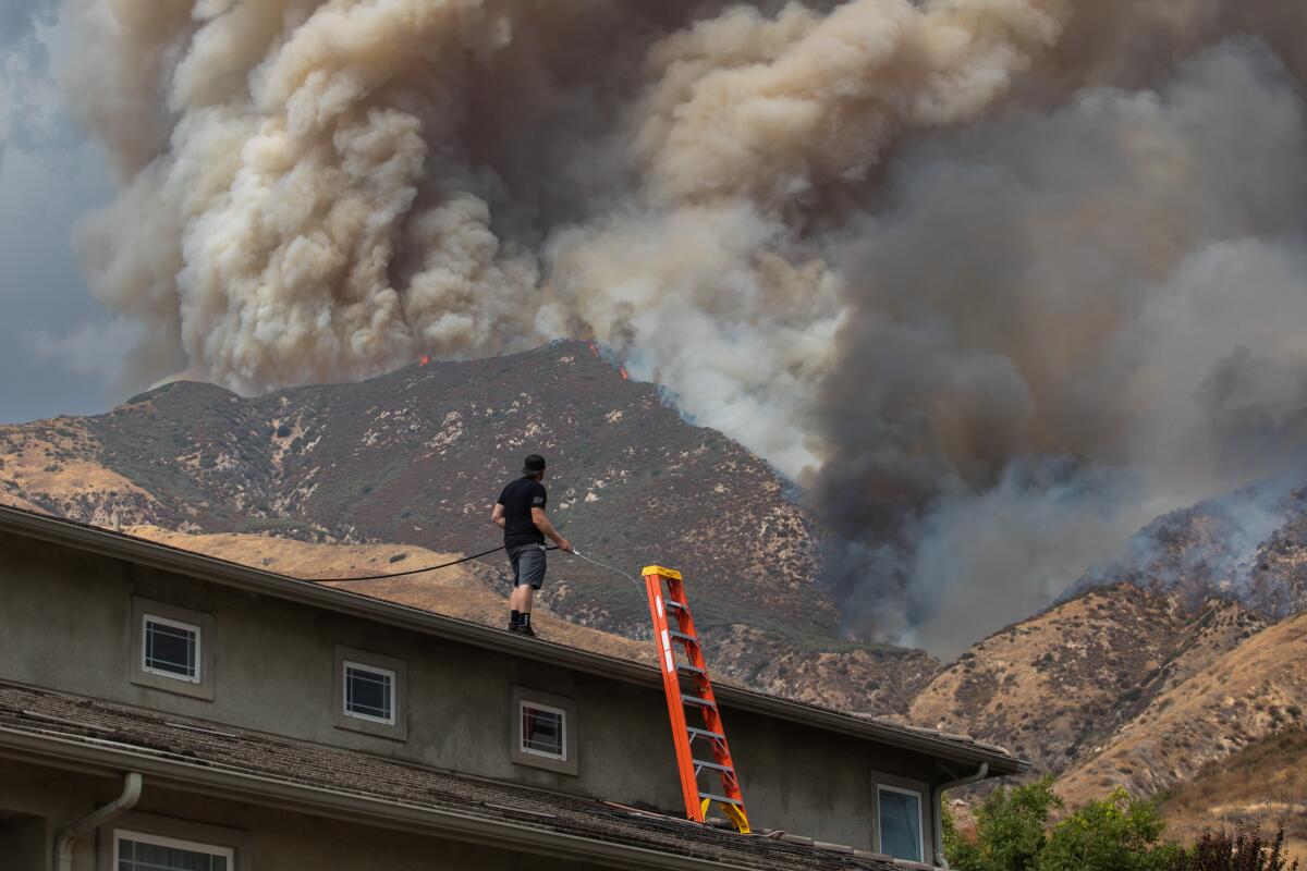
Gov. Gavin Newsom proclaimed a state of emergency in San Bernardino County on Saturday night and announced that federal funds would help reimburse the cost of suppressing the fire. On Monday afternoon, the governor announced that the California National Guard would send four water-dropping helicopters, two firefighting planes and 80 soldiers to assist in the firefight.
“As the Line Fire continues to pose a threat to San Bernardino communities, we’re pouring resources into this incident aggressively by deploying more air and ground support through the California National Guard,” Newsom said in a statement. “This is on top of nearly 2,000 firefighters, nearly 200 engines, and air assets we already have tackling this fire. California stands with these communities and has their backs.”
Running Springs, a community of about 4,600 residents and a major gateway to the popular tourist destinations of Lake Arrowhead and Big Bear, was one area being evacuated over the weekend. On Saturday, residents jammed exit routes to flee the fire. Images from a live video feed posted on social media showed a long line of cars slowly moving down a single mountain lane.
The so-called front route to Big Bear Lake — Highway 330 from Highland Avenue to Highway 18 in Running Springs, and Highway 18 between Running Springs and the Big Bear Lake dam — remained closed Monday.
A few more days of dangerous heat are forecast across much of California. But a shift in weather patterns could slightly lower temperatures by midweek.
Other areas under evacuation orders, which are issued when conditions are immediately dangerous and life-threatening, include:
- The area from Calle Del Rio to Highway 38, including Greenspot Road North
- All underdeveloped land east of Highway 330 to Summertrail Place and north of Highland Avenue
- The areas of Running Springs east of Highway 330 and south of Highway 18
- The area east of Orchard Road to Cloverhill Drive from Highland Avenue north to the foothills
- North of Highland Avenue and east of Palm Avenue to Highway 330
- Garnett Street east to the 138 and Mill Creek north to the foothills
- Forest Falls
- Mountain Home Village
- Angelus Oaks, Seven Oaks and all campgrounds and cabins in the area
Evacuation shelters were open at the San Bernardino County Fairgrounds, at 14800 7th St. in Victorville, and the Jessie Turner Community Center in Fontana at 15556 Summit Ave.
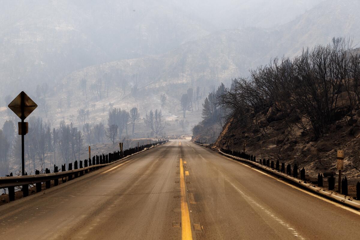
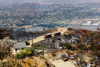
Meanwhile, the Bridge fire broke out in the Angeles National Forest north of Glendora on Sunday afternoon, expanding to 2,995 acres as of Monday night.
Mandatory evacuation orders were in place for Camp Williams Resort and an adjacent river community, as well as residents of Mount Baldy.
As of 5:30 p.m. Monday, residents of Mount Baldy Village from the San Antonio Dam to Mt. Baldy Resort had been ordered to evacuate, officials said.
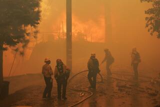
Fire crews were battling the fire by air and by land. Dana Dierkes, public affairs officer for the Angeles National Forest, said crews were focused on protecting homes in the East Fork area and preventing the fire from spreading to the south.
Authorities are still investigating the causes of the Bridge fire and the Line fire.
Other fires were threatening communities in the north. The Davis fire burning near Reno and Boyles fire in Lake County in Northern California have damaged dozens of structures and forced thousands to evacuate.
Times staff writers Christopher Goffard, Teresa Watanabe and Colleen Shalby contributed to this report.
More to Read
Sign up for Essential California
The most important California stories and recommendations in your inbox every morning.
You may occasionally receive promotional content from the Los Angeles Times.
