Category:Maps of Khatumo
Jump to navigation
Jump to search
Subcategories
This category has the following 6 subcategories, out of 6 total.
Media in category "Maps of Khatumo"
The following 11 files are in this category, out of 11 total.
-
 Khatumo state of Somalia map.png 661 × 811; 94 KB
-
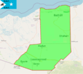
 Khatumo State-administrative map EN.gif 860 × 736; 58 KB
-
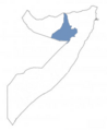
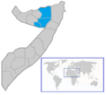
 KhatumoStateloc.PNG 240 × 320; 39 KB
-
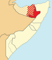
 KhatumoStatemap.png 240 × 320; 16 KB
-
 Location of Haatumo State.PNG 678 × 780; 51 KB
-
 Somaliland-Khaautmo Conflict Map in Sool and Buuhoodle District.svg 565 × 305; 1.72 MB
-
 Somaliland-Khatumo-Puntland Dispute.svg 1,052 × 1,340; 170 KB
-
 Somaliland-SSC-Puntland Map.png 1,122 × 794; 92 KB
-
 SSC Khatumo Security Force scope of operations per 33 member Guddi committee.png 1,062 × 1,014; 922 KB
-
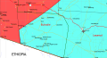
 SSC Somalia demarcation map.png 965 × 867; 502 KB
-
 SSC-Khaatumo.png 746 × 665; 103 KB


