Ohio Erie shore west
Ohio Erie shore west is a region in Ohio, consisting of the northwestern plains bordering the lake. It is sometimes referred to as the Firelands.| Tap on the map to travel |
Popular Destinations
Toledo
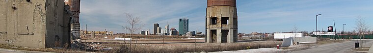
Photo: Traveler100, CC BY-SA 3.0.
Toledo is a city of almost 273,000 people in northwestern Ohio's Lucas County, on the Maumee River at the edge of Lake Erie.
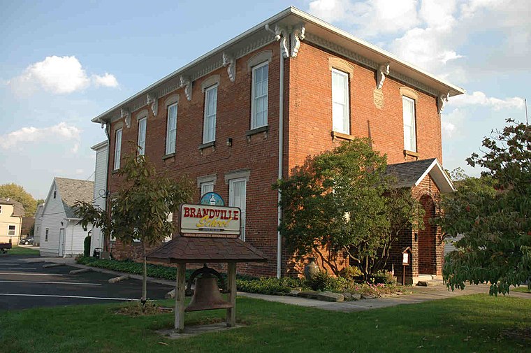
Fremont

Photo: Nyttend, Public domain.
Fremont is a city in Ohio Erie shore west. It is the county seat of Sandusky County.
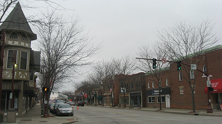
Sandusky

Photo: Andre Carrotflower, CC BY-SA 4.0.
Sandusky is a city in Ohio Erie shore west and county seat of Erie County, on Ohio's north coast along Lake Erie between Cleveland and Toledo.
Destinations
Cedar Point
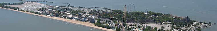 Cedar Point Amusement Park is a 364-acre amusement park in Sandusky, Ohio on one of the North Coast Beaches overlooking Lake Erie.
Port Clinton
 Port Clinton, "The Walleye Capital of the World", is a fishing village and vacation spot on the north shore of Ohio.
Sylvania

Photo: Nyttend, Public domain.
Sylvania is a small city of 19,000 people in Ohio Erie shore west.
Milan

Photo: Chris Light, CC BY-SA 4.0.
Milan is a city in Ohio Erie shore west. It is located in the south part of Erie County and the area known as The Firelands.
Clyde

Photo: OHWiki, CC BY-SA 2.5.
Clyde is a city in Sandusky County, Ohio, located eight miles southeast of Fremont.

Huron
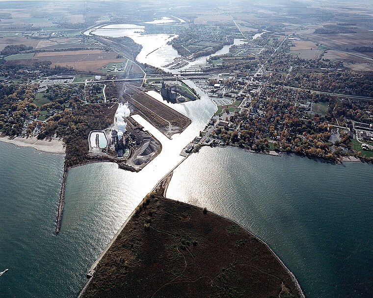
Photo: Wikimedia, Public domain.
Huron is a city of almost 7,000 people in Erie County on Ohio's North Coast along Lake Erie and on the banks of the Huron River.
Bellevue

Photo: O484, CC BY-SA 4.0.
Bellevue is a city in Erie, Huron, Seneca, and Sandusky counties in the U.S. state of Ohio, located 61 miles southwest of Cleveland and 45 miles southeast of Toledo.
Oak Harbor

Photo: Kralizec!, CC BY-SA 2.5.
Oak Harbor is a village in Ottawa County, Ohio, United States.
Whitehouse

Photo: Mbrickn, CC BY-SA 4.0.
Whitehouse is a village within the Toledo Metropolitan Area in Lucas County, Ohio, United States.
Marblehead

Photo: Nyttend, Public domain.
Marblehead is a village in Ohio Erie shore west. It is on the Marblehead Peninsula, which divides Lake Erie from the Sandusky Bay.
Kelleys Island
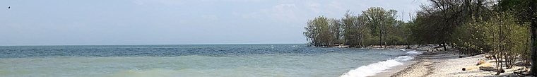
Photo: Mbrickn, CC BY-SA 4.0.
Kelleys Island is an island and with a small village on its southern shore in Erie County, Ohio.
Elmore

Photo: David Wilson, CC BY 2.0.
Elmore is a village in Ottawa and Sandusky counties in the U.S. state of Ohio.
Put-in-Bay

Photo: Alvintrusty, CC BY-SA 3.0.
Put-in-Bay is a resort village 3 mi offshore of mainland Ohio on Lake Erie.
Lakeside
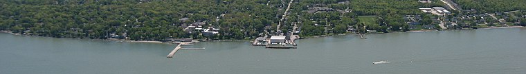
Photo: Nyttend, Public domain.
Lakeside is a private community and census-designated place in Danbury Township, Ottawa County, Ohio, United States, on the shores of Lake Erie.
Catawba Island

Photo: Nyttend, Public domain.
Catawba Island is part of the Ottawa County peninsula.
Ohio Erie shore west
- Type: region
- Description: territorial entity in Ohio
- Location: Ohio, Midwest, United States, North America
- View on OpenStreetMap
Latitude of center
41.302° or 41° 18' 7" northLongitude of center
-82.849° or 82° 50' 56" westWikidata ID
Q28913865Ohio Erie shore west Satellite Map
© OpenStreetMap, Mapbox and Maxar
Also Known As
- English: Firelands
- Italian: Riva nordoccidentale dell'Ohio
- Slovenian: Firelands
- Slovenian: zahodna obala Eriejskega jezera v Ohiu
Popular Destinations in Ohio
Discover Columbus, Cincinnati, Cleveland and Bowling Green.
Escape to a Random Place
Explore your world with these selected destinations of excellence.
About Mapcarta. Thanks to Mapbox for providing amazing maps. Text is available under the CC BY-SA 4.0 license, excluding photos, directions and the map. Description text is based on the Wikivoyage page Ohio Erie shore west. Photo: Wikimedia, CC0.