 Getty Images
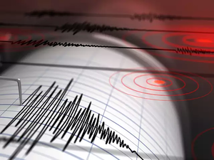
A magnitude 5.9 earthquake has struck southwestern Iran along the Persian Gulf.
There were no immediate reports of damage or injuries from the temblor Sunday.
Iranian state television alerted on its broadcast, saying it was a 5.9 magnitude. A second aftershock quake of 4.5 magnitude followed it.
The US Geological Survey called it a 5.8 magnitude earthquake, located at the port city of Bandar Genaveh. It described its depth at 10 kilometers (6.2 miles).
A magnitude 5 earthquake can cause considerable damage. Such shallow earthquakes as Sunday's also have broader damage.
That's some 100 kilometers (60 miles) from Iran's Bushehr nuclear power plant.
Iran is on major seismic faults and experiences one earthquake a day on average. In 2003, a magnitude 6.6 earthquake flattened the historic city of Bam, killing 26,000 people.
A magnitude 7 earthquake that struck western Iran in 2017 killed more than 600 people and injured more than 9,000.
(Catch all the Business News, Breaking News, Budget 2024 Events and Latest News Updates on The Economic Times.)
Subscribe to The Economic Times Prime and read the ET ePaper online.
(Catch all the Business News, Breaking News, Budget 2024 Events and Latest News Updates on The Economic Times.)
Subscribe to The Economic Times Prime and read the ET ePaper online.